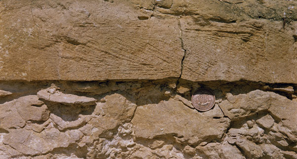
The Oolites
The Oolites as an aquifer
The Oolites consists of a variable group of limestones, sands and clays up to 150 m thick in Humberside, reducing in thickness to about 50 m in central and southern England. Yields are typically in the range 5 to 15 l/sec. Limestones in the aquifer become increasingly compact within the sequence down dip and the water rapidly becomes saline as the aquifer becomes confined.
BGS have published an online memoir on the Thames Basin that includes information on the Oolite aquifer in the Thames Basin.
See also the Great Oolite Group and Inferior Oolite Group in the BGS lexicon of named rock units.
Area where the Oolites is present
The Oolite aquifer unit is present in a broad band from Humberside, through central southern England and along the southern coast of England from Kent to Dorset.
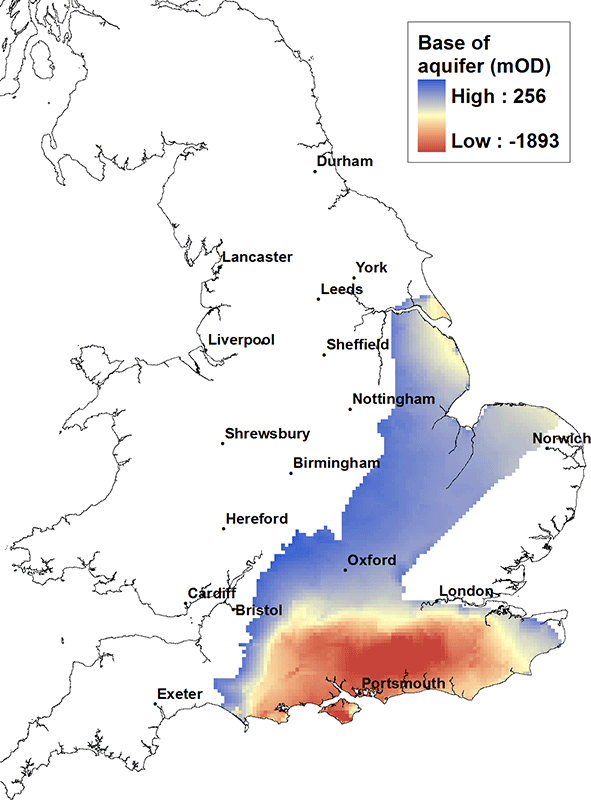
Elevation of base of the Oolites
The Oolite aquifer unit broadly dips from west to south east. It is highest in the Cotswolds at about 250 m above OD. It dips down to about 700 m below OD near the mouth of the Humber and deeply into the centre of the Wessex Basin to a depth of about 1900 m below OD.
Contact
Please contact BGS Enquiries for more information.


