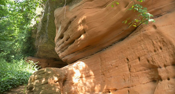
The Triassic Sandstone
The Triassic Sandstone as an aquifer
The Triassic Sandstone forms the UK's second most important aquifer after the Chalk and consists of sandstones, conglomerates and marls up to 600 m thick. It can yield up to 125 l/sec of good quality hard to moderately hard water from the upper parts of the aquifer. In coastal and estuarine areas in the north west of England seawater intrusion occurs and groundwater becomes highly saline with depth.
BGS has published a series of reports describing the baseline hydrogeochemistry of the major aquifers of the UK and Baseline reports on the Triassic Sandstone are available for the Vale of York, Liverpool, Manchester, Cheshire and the Wirral, Staffordshire and North Worcestershire.
Area where the Triassic Sandstone is present
The Triassic Sandstone aquifer is present in a series of deep basins throughout the UK including Carlisle, eastern England from Yorkshire to the Wash, the Fylde coast in north west England, the Cheshire Basin, Shropshire, Worcestershire, and southern England from Hampshire to Dorset.
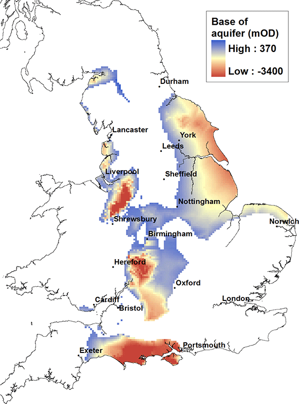
Elevation of base of the Triassic Sandstone
The base of the Triassic Sandstone varies from about 100 m above OD at outcrop to deeper than 2500 m below OD in the centre of the Cheshire, Worcester and Wessex Basins.
Contact
Please contact BGS Enquiries for more information.


