The Fell Sandstone and Border Group
The Fell Sandstone and Border Group as an aquifer
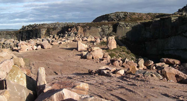
The Fell Sandstone and Border Group aquifer consists of friable, quartz-rich sandstones with minor pebbly and silty bands. It is up to about 300 m thick. Yields are quite variable due to variations in the degree of jointing but typically less than 10 l/sec from the upper parts of the aquifer. Water is soft at outcrop but becomes harder down dip particularly below cover.
See also the Fell Sandstone and Border Group in the BGS lexicon of named rock units.
Area where the Fell Sandstone and Border Group are present
The Fell Sandstone and Border Group aquifer is found between the coast west of Carlisle across northern England to the coast between Sunderland and Berwick-upon-Tweed.
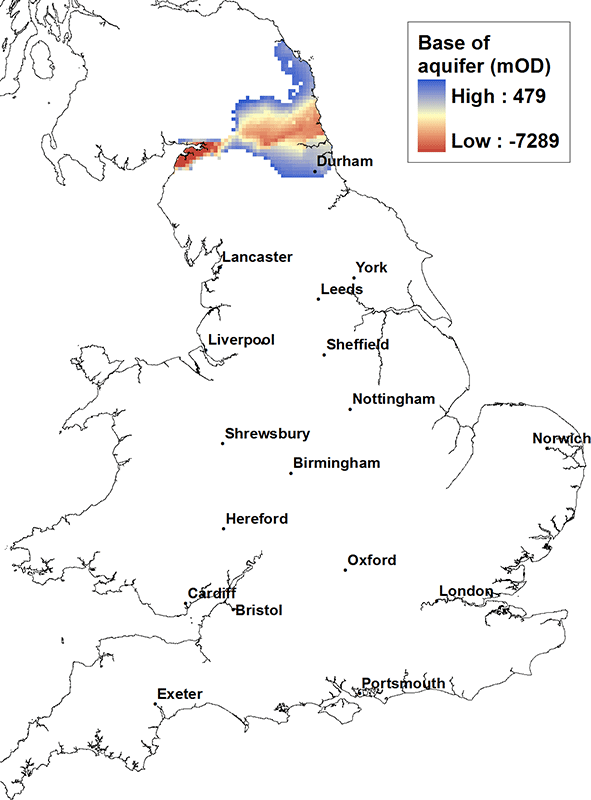
Elevation of base of the Fell Sandstone and Border Group
At outcrop the base of the aquifer can be as high as 450 m above OD, but at depth in the Carlisle Basin it can be found in excess of 7000 m below OD.
Contact
Please contact BGS Enquiries for more information.


