Properties of the Great Oolite and Inferior Oolite aquifers
The principal Jurassic aquifers are the Inferior Oolite and Great Oolite limestones, which overlie the Lias Group and have an outcrop area of approximately 600 km2 in the Upper Cotswolds.
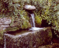
The shallow marine depositional environment of the Great and Inferior Oolite Group gives rise to an alternating sequence of limestones and clays; the limestone beds themselves being thinly bedded and laterally non-persistent.
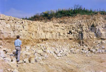
The Oolitic limestones are well-cemented and have a low intergranular permeability. Consequently matrix porosities are low and primary aquifer storage is limited.
Aquifer storage is further constrained where the saturated thickness of the unconfined limestones in the higher Cotswolds is dissected by heavily incised river valleys and extensive faulting.
The control of faulting on aquifer drainage routes is well observed in the Cotswolds with rivers following local fault systems. Being heavily fractured and faulted transmissivity values are high and the resultant combination of low storativity and high transmissivity gives rise to a highly responsive aquifer with large seasonal variations.
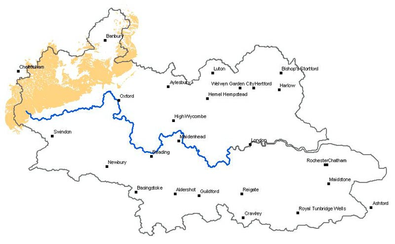
Spring discharge in the Cotswolds is considerable and is estimated to exceed artificial abstraction. Spring lines are well-developed at the boundary of geological contacts and provide significant baseflow to rivers.
The Great Oolite and Inferior Oolite are generally regarded as two distinct aquifers with different water tables separated by the low permeability Fullers Earth Clay. However vertical leakage between the two aquifer units may occur via fault systems.
Hydraulic properties of the Great Oolite and Inferior Oolite aquifers
Transmissivity data (m2/day)
| Aquifer | No. of values | Geometric mean | Min | Max | 25 % | 75 % |
|---|---|---|---|---|---|---|
| Great Oolite | 34 | 212 | 4 | 5900 | 37 | 825 |
| Inferior Oolite | 14 | 139 | 4 | 11000 | 18 | 1150 |
Storage coefficient data
| Aquifer | No. of values | Min | Max | 25 % | 75 % |
|---|---|---|---|---|---|
| Great Oolite | 7 | 6x10⁻⁵ | 4x10⁻³ | 1x10⁻⁴ | 6.8x10⁻⁴ |
| Inferior Oolite | 3 | 7x10⁻⁵ | 8x10⁻² | - | - |
Porosity data (%)
| Aquifer | No. of boreholes | No. of tests | Arithmetic mean | Min | Max |
|---|---|---|---|---|---|
| Great Oolite | 2 | 90 | - | 5.1 | 25 |
| Inferior Oolite | 5 | 36 | 19.1 | 12.2 | 34.5 |
Hydraulic conductivity data (m/day)
| Aquifer | No. of boreholes | No. of tests | Arithmetic mean | Min | Max |
|---|---|---|---|---|---|
| Great Oolite | 2 | 90 | - | <1.9x10⁻⁶ | 0.035 |
| Inferior Oolite | 5 | 36 | 9.8x10⁻⁵ | 2.6x10⁻⁶ | 0.5 |
BGS projects about the Great Oolite and Inferior Oolite
- Neumann, I, Brown, S, Smedley, P L, and Besien, T. 2003
Baseline Report Series: 7. The Great and the Inferior Oolite of the Cotswold district.
British Geological Survey Commissioned Report CR/03/202N - Maurice, L, Barron, A J M, Lewis, M A and Robins, N S. 2008 The geology and hydrogeology of the Jurassic limestones in the Stroud–Cirencester area with particular reference to the position of the groundwater divide. British Geological Survey Commissioned Report CR/08/146
Contact
Contact Stephanie Bricker for further information


