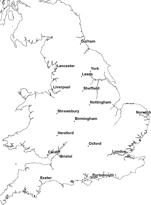
Principal aquifers in England and Wales
Use this page to select an aquifer occurrence map to view.
The Environment Agency has designated 11 principal aquifers in England and Wales. These are listed below, with the youngest aquifers at the top and the oldest at the bottom of the list.
Click on any of the named principal aquifers in the list to see a thumbnail map of the distribution that aquifer. Once you have selected the aquifer that you are interested in, click on the map or follow the link below the map for information about the geology and hydrogeology of the aquifer and to see a more detailed map of the distribution of the aquifer.
- Crag
- Chalk
- Lower Greensand
- Spilsby Sandstone
- Corallian Limestone
- Oolites
- Triassic sandstone
- Magnesian limestone
- Permian sandstone
- Carboniferous Limestone
- Fell Sandstone and Border Group
Click the info icon to get more information about the aquifer maps where available.

About the aquifer maps
Find out more about how the principal aquifers of England and Wales are defined in the methods section or download the data used to prepare the maps.
Contact
Please contact BGS Enquiries for more information.


