The Magnesian Limestone
The Magnesian Limestone as an aquifer
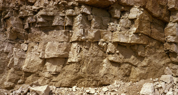
The Magnesian Limestone aquifer consists of massive dolomitic and reef limestones with marls, sandstones and breccias and is up to 300 m thick near Durham. Typical yields range up to 50 l/sec from the upper parts of the aquifer but the water is typically very hard. Seawater intrusion may occur near the coast and groundwater becomes increasingly saline with depth.
See also the Magnesian Limestone in the BGS lexicon of named rock units.
Area where the Magnesian Limestone is present
The Magnesian Limestone is present in north east and eastern England east of the Pennines from near Durham down to Nottinghamshire and Lincolnshire.
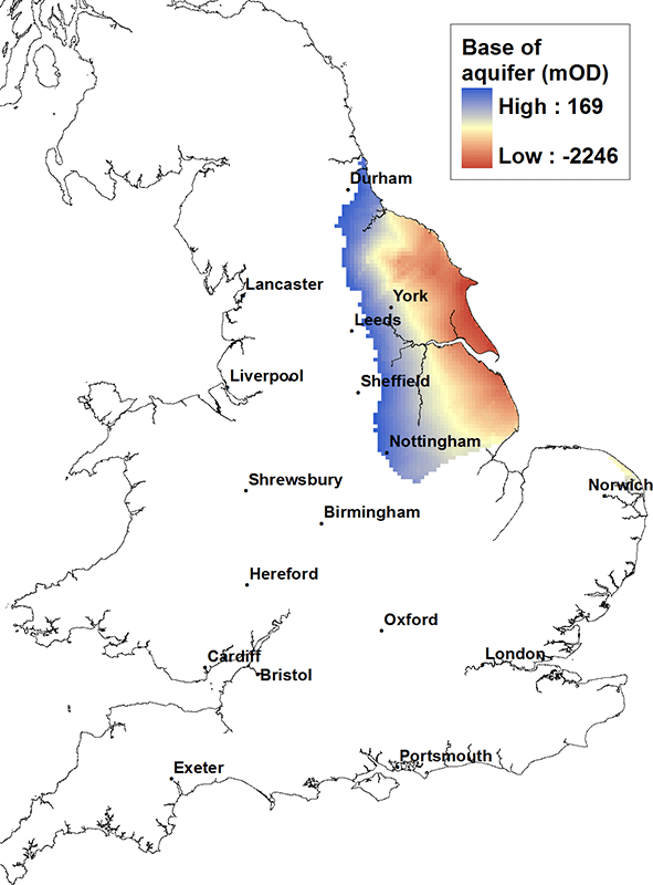
Elevation of base of the Magnesian Limestone
The Magnesian Limestone aquifer dips from the west to east. The base of the aquifer is at its shallowest along the western outcrop at about 150 m above OD and at its deepest along the eastern coast of England at greater than 2000 m below OD.
Contact
Please contact BGS Enquiries for more information.


