The Crag
The Crag as an aquifer
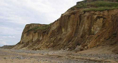
The Crag is a locally important aquifer, up to about 80 m thick, found in parts of East Anglia. It generally consists of unconsolidated marine sands that may be locally hard and consolidated. The Crag may form a single groundwater-bearing unit where it is connected to overlying glacial sands. The yield is typically moderate to low, of the order of 10 l/sec. Water quality can be poor, iron-rich and hard, particularly below a cover of boulder clay (a Quaternary glacial clay deposit). Seawater intrusion may occur in to the Crag near the coast.
See also the Crag in the BGS lexicon of named rock units.
Area where the Crag is present
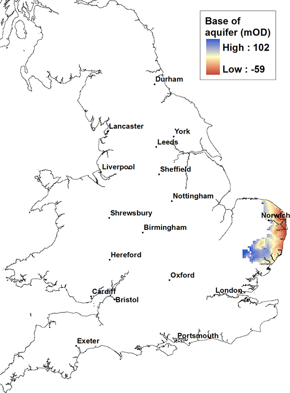
The Crag is present in central, southern and eastern East Anglia.
Elevation of base of the Crag
At its western extent the base of the Crag is at about 100 m above OD and dips gently to the east, but at its deepest on the coast of East Anglia it is only at about 50 or 60 m below OD.
Contact
Please contact BGS Enquiries for more information.


