The Lower Greensand
The Lower Greensand as an aquifer
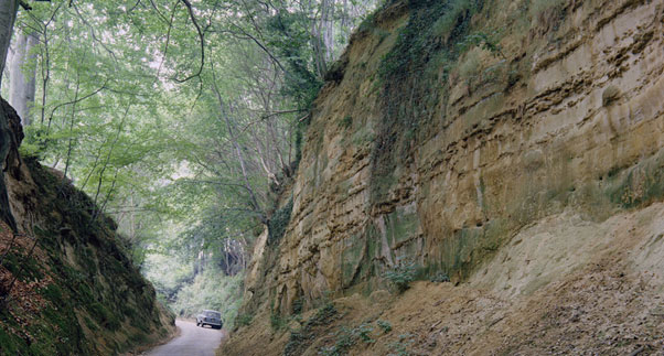
The Lower Greensand aquifer consists of lithologically variable sands and sandstones that are commonly glauconitic or iron-rich, with local clay-rich or sandy limestone beds. Yields of up to about 50 l/sec have been obtained and the water is typically soft and iron rich, although it becomes harder and more mineralised where it occurs below boulder clay (a Quaternary glacial clay deposit).
See also the Lower Greensand in the BGS lexicon of named rock units.
Area where the Lower Greensand is present
The distribution of the Lower Greensand unit closely mirrors that of the Chalk for much of England and Wales. It is not present north of the Humber but is present in Lincolnshire, east of the Wash over large parts of the East Anglia, down through Cambridgeshire, throughout the Thames Basin, along the Kent Coast and along the south Coast of England as far as east Dorset.
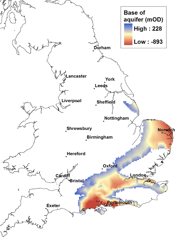
Elevation of base of the Lower Greensand
The base of the Lower Greensand unit along the east coast East Anglia is typically at a depth of greater than 500 m below OD, while in the centre of the Wessex Basin near Southampton the base may be in excess of 800 m below OD.
Contact
Please contact BGS Enquiries for more information.


