Soil and shallow groundwater

The University of Dundee, in partnership with the BGS, has carried out a lot of work on soil permeability and soil water dynamics across the Eddleston site, which links closely with the groundwater investigations.
In some cases it's hard to distinguish where the boundary is between soil water and shallow groundwater, which is why it is so important to consider both together in the floodplain environment.
Shallow wetland piezometers

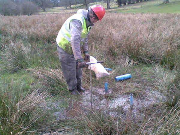
Six smaller, shallower piezometers were installed by hand using a Dutch auger in a wetland area in one part of the site, as three pairs between ground level and 2 m depth.
The piezometers intercept low permeability silts and peat, and are being used to characterise the hydraulic properties of these deposits, which are a major control the hydrology of the wetland, and to monitor wetland hydrology over time.
The shallow piezometers were tested to establish the hydraulic properties of the silts and peat underlying the wetland.
This was done with a peristaltic pump, which has a very low flow rate of between 40 ml/min and 3.5 l/min, using a rapid recovery method (sometimes known as a slug test), where the piezometer is rapidly pumped dry and the time taken for the water level to recover to its natural level is recorded.
Soil moisture sensors on the hill slope

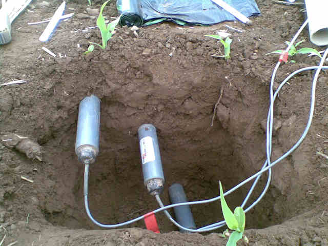
Six sensors were installed in soils on the hill slope above the wetland area, in two groups spaced 10 m apart up the slope.
For each group, a hole was dug, a sensor placed at 20 cm, 35 cm and 60 cm depth, and the hole filled in again, leaving the sensors buried so they can monitor soil moisture.
Soil permeability across the hill slope and floodplain
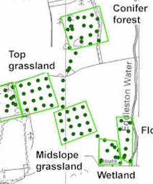
The University of Dundee carried out an extensive survey of soil permeability below different land covers across the hill slope and floodplain at the Eddleston site (see map), supported by colleagues at the Centre of Excellence for Ecohydrology at the University of Western Australia.
Two different methods were used:
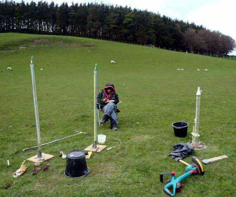
- Surface soil permeability was measured using a ponded disc permeameter. A metal ring is sunk 4 mm into the ground; the permeameter is placed on the soil surface; a free flow of water is allowed to infiltrate the ground and the rate at which it infiltrates is measured.
- Sub-soil (below 4 cm) permeability was measured using a constant head well permeameter. An auger is used to dig a 15 cm-deep hole, which is filled with water at a constant rate, and the rate at which the water soaks into soil below the hole is recorded.
Preliminary results show that soil permeability is significantly higher between established woodlands than beneath grasslands used for grazing. This will affect rainfall infiltration and groundwater recharge.
Contact
Contact Brighid Ó Dochartaigh for further information


