Eddleston: groundwater-surface water interaction on an upland floodplain
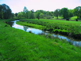
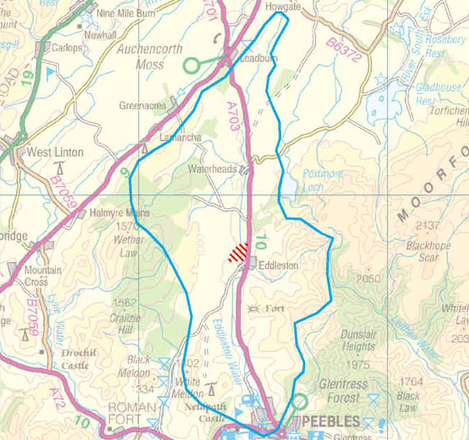
The Eddleston Water is a small, upland tributary of the River Tweed in the Scottish Borders, which has been selected as a demonstration research catchment by the Scottish Government for promoting Natural Flood Management.
Over time, as in many rural valleys, the course of the Eddleston Water has been channelised and straightened, and the land has been drained to improve agricultural production.
Such changes have caused a loss of habitat diversity, and have increased the amount of rainwater run-off and the speed at which it flows through the catchment, which have led to an increased risk of flooding in Eddleston village and the town of Peebles downstream.
Eddleston Water floodplain project
The Eddleston Water Floodplain Project is a joint effort by a number of organisations to investigate and reduce the impact of flooding in the Eddleston catchment, a large part of which has been supported and funded by the Scottish Government.
The BGS, in partnership with the University of Dundee, is carrying out new research at a site near Eddleston village into the role groundwater plays in flooding in this kind of environment. Other work to investigate and reduce the impact of flooding in the Eddleston catchment is being done by the Tweed Forum and SEPA.
Already we're seeing that groundwater throughout the Eddleston floodplain is closely linked to surface water (rivers, soil water and wetlands).
Depending on the local environment and the weather, groundwater can mitigate, exacerbate or cause flooding. It is therefore important that natural flood management measures assess and take into account groundwater if they are to be fully effective.
The experimental site

The BGS and the University of Dundee are working on an experimental site approximately 0.3 km2 in area, which includes most of the width of the Eddleston Water floodplain on both sides of the river.
It is a rural site, with a diverse range of land uses including mixed livestock farming on improved grassland, arable farming, established forest shelter belts, deciduous woodlands, and a riverbank strip of unimproved grassland.
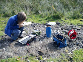
Since 2010 we have been characterising the geology, soils, hydrology and hydrogeology of the site and have set up ongoing monitoring of groundwater, soil moisture, river flow, and climate.
Characterising the floodplain environment

Between summer 2010 and the end of 2011, the BGS and the University of Dundee carried out extensive work to characterise the shallow, Quaternary subsurface environment — the glacial and post-glacial geology, hydrogeology and soil hydrology — of the experimental site at Eddleston.
This work included:
- Characterising the geology of the site by geological surveying, including:
- 3D geological model of the site
- digging trial pits
- drilling boreholes and installing shallow piezometers
- geophysical surveying
- geological map of the Eddleston catchment area
- Groundwater in the floodplain: Investigating the hydraulic properties of the Quaternary aquifer beneath the floodplain by test pumping the new boreholes and piezometers.
- Investigating groundwater chemistry: collecting for chemical analysis.
- Monitoring groundwater and soil moisture: Measuring soil permeability in areas of different land use and topography across the site.
Ongoing environmental monitoring
A monitoring phase was started shortly after the initial characterisation of the Eddleston experimental site. We installed equipment to monitor soil moisture, groundwater levels and temperature, and groundwater chemistry over time; the data from which will improve our understanding of the dynamic workings of the floodplain environment.
Contact
Contact Brighid Ó Dochartaigh for further information


