Home
»
Our research
»
Groundwater science
»
Research areas
»
Catchment processes
» Eddleston » Geophysical surveying
Geophysical surveying
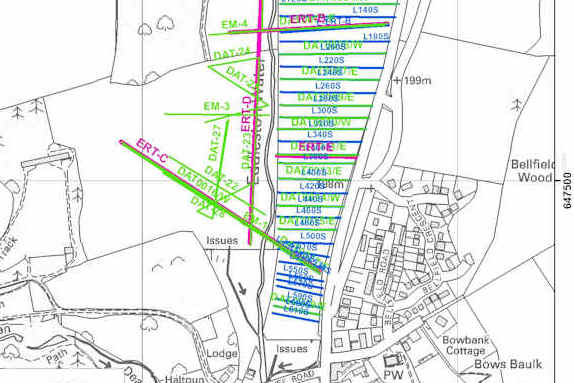
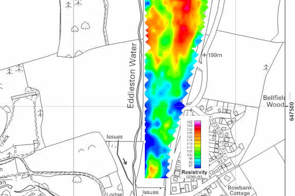
Three different types of near-surface geophysical surveys were carried out at the Eddleston site to help explore the shallow geology of the site.
The techniques used were:
- electromagnetic induction (EM, also referred to as ground conductivity mapping)
- 2D electrical resistivity tomography (ERT) and
- ground penetrating radar (GPR)
This combination of electrical and electromagnetic (EM) techniques is a common application in investigations of shallow Quaternary deposits, and has been used successfully in a variety of recent BGS projects.
The geophysical results were used to develop the 3D geological model and to help decide where to site the floodplain boreholes.
Cross sections
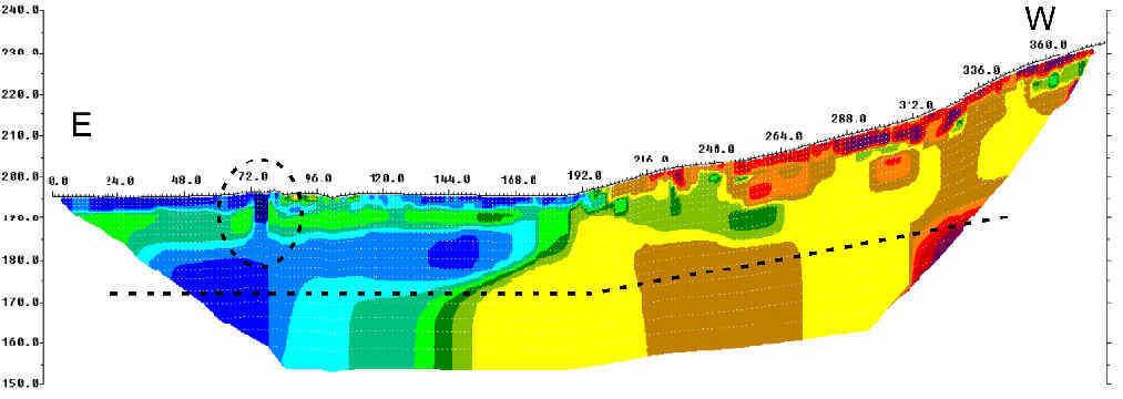
The image below is an example of an ERT (electrical resistivity tomography) geophysical cross section across the floodplain/valley floor and the adjacent hill slope.
Contact
Contact Brighid Ó Dochartaigh for further information.
Research areas
Data, information and services
Research resources
People and collaborations
Eddleston
Contact


