National Groundwater Level Archive
We operate the National Groundwater Level Archive (NGLA) from our Wallingford office. The NGLA is part of the National Water Archive, which we run with our sister organisation the Centre for Ecology and Hydrology.
Where do the groundwater level data come from?
The NGLA contains groundwater level data from a range of sources:
- the observation borehole network
- research monitoring sites operated by BGS/NERC (e.g. Oxford field observatory)
- data from academic research projects funded by NERC.
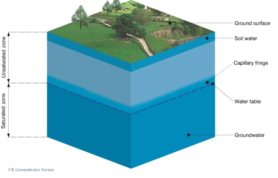
How are groundwater levels measured?
Groundwater levels are measured manually using a dipper or automatically by a pressure transducer. Automatic readings may be stored in a datalogger that is visited periodically and downloaded by field staff, or sent automatically over the phone network to a database in a data centre (telemetry). However, errors in groundwater level measurement can occur.
The observation borehole network
The groundwater observation borehole network comprises 181 sites: 166 in England, three in Northern Ireland and one in Scotland. Water levels are monitored regularly at these sites, providing time-series data that can help us understand the aquifers being monitored and how they are affected by changes in factors such as climate or land use. These sites are a subset of larger networks operated by the Environment Agency (England), the Scottish Environmental Protection Agency, Natural Resources Wales and the Department of the Environment (Northern Ireland).
Sites have been chosen to represent all major UK aquifers, and as far as possible, the boreholes were selected as being in zones least affected by substantial abstraction. This allows the archive to provide a summary of the natural groundwater situation, but does limit its utility in observation of groundwater abstraction, although the network does include boreholes in the London basin and some other areas affected by pumping.
Currently 28 boreholes from the archive have been chosen as index wells. Data for these boreholes are compiled monthly to provide a continually updated picture of national and regional trends and variations in groundwater resources (the Hydrological Summary for the UK).
Data storage
The data are stored within our WellMaster database. The WellMaster database currently holds, in addition to the National Groundwater Level Archive data, water level data for around 60 000 boreholes. These data are from logs of boreholes that were drilled for water supply, and the majority represent a single historical readings of the water level taken after drilling or when the borehole was surveyed.
Contact
Contact Andrew McKenzie for further information


