Characterising the hydrogeology of river terrace deposits
There is an extensive covering of river terrace deposits within the Thames Basin associated with the River Thames itself and the Rivers Kennet, Ock and Lee.
The large number of sand and gravel quarries within the Thames Valley is a reflection of the economic importance of these deposits to the aggregate industry.
We think it is important to improve our hydrogeological understanding of the river terrace deposits. With high porosity and high permeability the sand and gravel deposits provide a large storage volume within flood plains. The distribution of this storage has a particular bearing on river flow characteristics and bank storage with implications for drought and flood resilience and river-aquifer nutrient exchange.
The river terrace deposits are not well-instrumented so information about groundwater levels and hydraulic properties is sparse. Our project uses a combination of computer modelling and statistical modelling approaches to map key hydraulic parameters including:
- groundwater levels
- unsaturated storage
- permeability
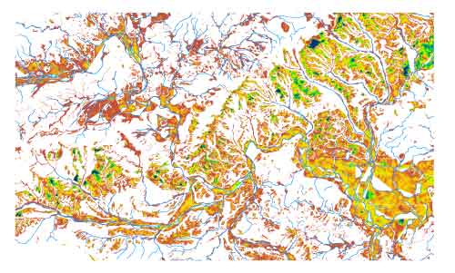
These approaches show systematic variations in aquifer characteristics across the Thames Basin that can be related to depositional and post-depositional history.
Contact
Contact Stephanie Bricker for further information.


