Modelling groundwater flood risk in the Chalk aquifer
The British Geological Survey is contributing to a project which aims to develop and apply improved modelling tools to enable the prediction of the current and future frequency, and severity, of groundwater flooding events.
The new integrated, spatially-distributed, modelling approach being developed consists of climate, rainfall, soil, unsaturated zone, groundwater and surface water flow models
The project incorporates climate change scenarios and aims to quantify the propagation of uncertainty through the linked environmental models.
Why do we need to improve groundwater flooding models?
The costs and impacts of groundwater flooding in the UK are significant and almost certainly underestimated.
However, there are no methodologies applicable to any of the major UK aquifers that link rainfall to groundwater flood risk; modelling of extreme events cannot rely on data for validation or calibration, understanding and prediction of groundwater flooding requires improved catchment science.
In addition, new models are needed: current groundwater models fail to represent flood response; conversely surface water models fail to represent adequately groundwater systems.
An integrated, spatially-distributed modelling approach is required to represent the relevant processes, interrogate the limited available historical data, and investigate future flood risk. Such models could then be used to investigate the suitability of simpler methods for flood warning and the regional assessment of flood risk.
Specific project objectives
BGS is collaborating with Imperial College London, the Centre for Ecology and Hydrology and the Environment Agency (EA) on a project, funded within the NERC Flood Risk from Extreme Events (FREE) Research Programme, which aims to provide tools for the prediction of groundwater flooding.
Specific project objectives include the development of an improved conceptual model of the processes occurring in groundwater flooding in Chalk catchments and the testing of the conceptual model through case studies.
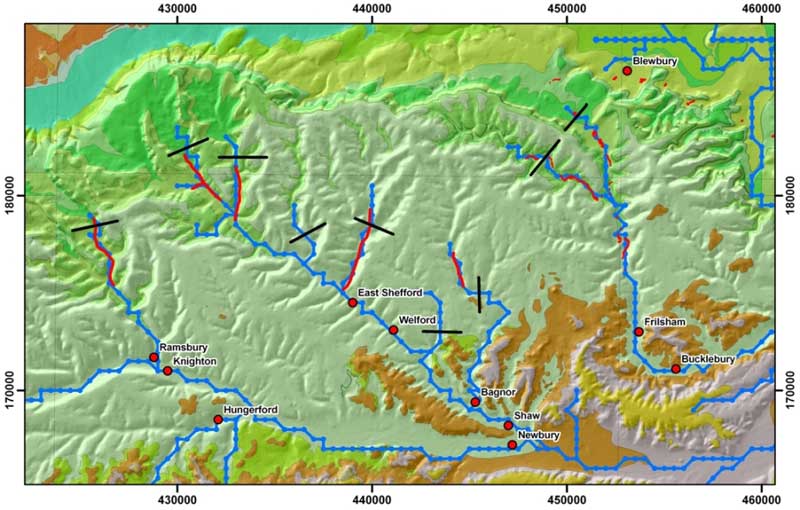
Case studies include: the Berkshire and south west Chilterns, using historical flood data from the Environment Agency and the NERC LOCAR Thematic Programme and existing groundwater models; the South Downs in the Brighton area, building on the INTERREG FLOOD1 project data; and the Chalk in Hampshire, using EA data to investigate rapid large groundwater level rises associated with recent groundwater flooding events.
The project will also develop a methodology for linking existing and new models within an integrated decision support system. It will assess the potential for future changes in groundwater flooding frequency using the integrated modelling system and a range of scenarios produced by global and regional climate models.
Finally it will develop and evaluate simpler methods for forecasting and regional assessment of groundwater flood risk.
Addressing legislative requirements
Through the project, it is planned that tools will be made available that will allow those with a role in safeguarding the public and property to better manage the risk from groundwater flooding both now and in the future. This will enable the UK and other EU states to address the requirements of environmental legislation such as the EU Floods Directive.
Publications
Upton, K A, and Jackson, C R. 2011. Simulation of the spatio-temporal extent of groundwater flooding using statistical methods of hydrograph classification and lumped parameter models. Hydrological Processes, 25, 1949-1963.
Rees, J G, Gibson, A D, Harrison, M, Hughes, A, Walsby, J C. 2009. Regional modelling of geohazard change. In: Culshaw, Martin, (ed.) Engineering geology for tomorrow's cities. London, UK, Geological Society of London, 49-63. (Geological Society Special Publications, 22).
Contact
Contact Andrew Hughes for further information
- Groundwater flooding | Science Briefing
200 KB pdf


