Sampling water
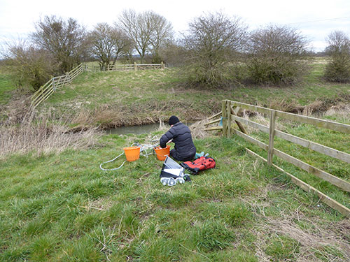
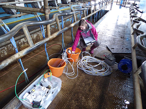
The BGS established a monitoring network of groundwater and stream sites across the Vale of Pickering. Groundwater samples were taken (Figures 1a and 1b) from both the superficial (Quaternary and/or shallow Kimmeridge Clay) and Corallian Limestone aquifers.
The network
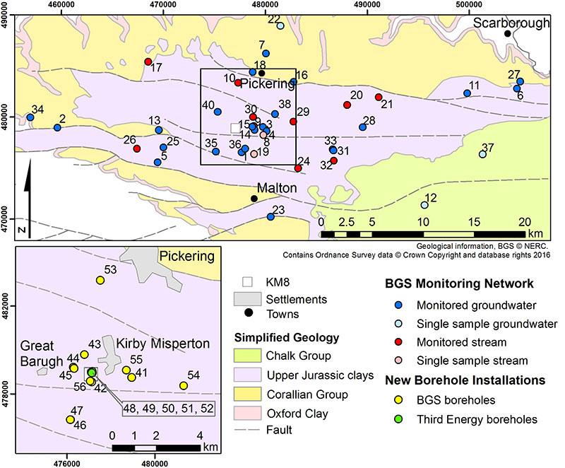
The network comprised 24 groundwater sites and 10 stream sites, most located within an approximate 10 km radius of the proposed shale–gas exploration borehole at Kirby Misperton (KM8) (Figure 2). Sampling site selection was based on spatial geological and hydrogeological factors and logistic considerations.
Monitoring of water quality at each of the sites involved monthly or quarterly collection of groundwater and stream-water samples. This established a time series for evaluating baseline compositions.
Borehole installations
A set of groundwater monitoring boreholes was installed in the vicinity of the Kirby Misperton site (KMA) and its exploration borehole (KM8) (Figures 2 and 3). These include boreholes within the shallow, superficial aquifer (Quaternary and/or weathered Kimmeridge Clay) and the deeper, Corallian Limestone aquifer. Borehole locations were determined on the basis of proximity to KMA and on geological data provided by investigations of both the superficial geology and geological modelling of the Corallian Limestone strata. Seismometers were also installed in a number of the boreholes for monitoring of seismicity.
Contact
Contact BGS enquiries for further information.


