1:50,000 (including 1:50,560)
Maps of this scale are known as resurvey series sheets and are summaries of available information collected at a nominal scale of 1:10,000.
These maps are published as:
- Bedrock
- Combined Bedrock and Superficial deposits
- Superficial
Bedrock

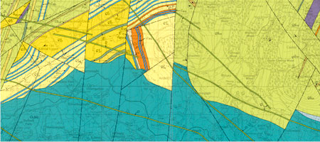
Extract from the Newtownstewart 1:50,000 Bedrock geology map
This map shows the distribution of rock types and their structural relationships.
Combined Bedrock and Superficial deposits

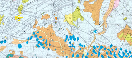
Extract from the Newtownstewart 1:50,000 Combined Bedrock and Superficial deposits
This map shows the distribution of glacial and younger deposits superimposed on the bedrock.
Superficial deposits

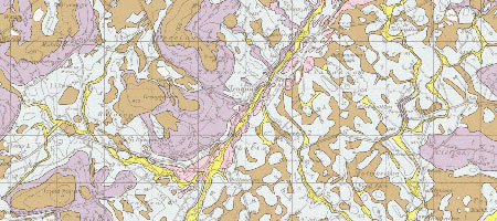
Extract from the Enniskillen 1:50,000 Superficial geology map
This map shows the distribution of glacial and younger deposits. Bedrock is grouped and is shown as areas of rock at or near the surface.
For map coverage and availability see the pages on mapping status.
For more information on licensing digital data visit contact the GSNI Information Delivery Team.