» Groundwater in the Middle Hills, Nepal — case study
Groundwater in the Middle Hills, Nepal — case study

There is a significant lack of data and understanding for the groundwater systems in the middle Himalaya. Current climate change projections predict increasingly inhospitable temperatures for the Terai region of Nepal (up to 60°C) and internal migration of populations within Nepal and India is expected.
The aim of this case study is to examine the role of groundwater systems in the Middle Hills and evaluate the sensitivity of this groundwater to change through climate, land use or abstraction.
- Download the Case Study Report
Key objectives
The key objectives of the case study are to:
- characterise groundwater resources and water usage in two Middle Hill catchments
- asses the dynamic groundwater system through one hydrological year to assess recharge processes
Middle Hills field area
Two catchments in the Nepalese Middle Hills are being used for the case study. These enable groundwater resources in different elevation settings and agriculture in the Middle Hills to be examined along a north–south transect.
Madan Pokhara
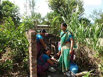
Madan Pokhara, in the south, lies at an elevation of 700–900 m above sea level, and is an area dominated by commercial agriculture and a growing population. Drinking water supply comes from gravity-fed spring sources and shallow tubewells. There is significant use of groundwater for irrigation.
Ramche and Nangi
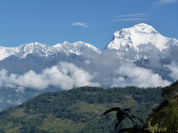
Ramche and Nangi, in central Nepal, are at elevations of 2200–3000 m above sea level and receive both rainfall and winter snowfall. The catchment is dominated by community forest and terrace farming (Figure 1). Gravity-fed spring sources form the main drinking water supply.
Work to date

- Groundwater characterisation and water usage mapping in the catchments
- Groundwater sampling
Post-monsoon and pre-monsoon groundwater sampling from springs and shallow boreholes from eight sites within each catchment (Figure 2). The samples are analysed for full inorganic chemistry, including arsenic and salinity, groundwater residence time indicators (CFCs, sulphur hexafluoride) at the main water supply sources sampled, and recharge/source tracers (stable isotopes). - Installation of data loggers
Automatic data loggers installed at three stream sources in the Ramche and Nangi catchment, to monitor response to monsoon and winter snowfall/spring melt. - Monitoring of springs
Daily to weekly monitoring of spring yields and temperature at four water supply sources in each catchment. Stable isotope sampling (recharge/source tracers) is being undertaken every two weeks. The monitoring will be conducted for one hydrological year (July 2013–July 2014).
Project team
The case study involves researchers from the British Geological Survey, ISET-Nepal, ISET-International and University of Denver.
Contact
Contact Dr Alan MacDonald for further information.


